Bear River Wildfire Ready Action Plan
Project Timeline:
2024 - 2025
Total Project Area: 33,309 acres
Main Partners:
Upper Yampa Water Conservancy District
US Forest Service
Colorado State Forest Service
WRAP Project Area
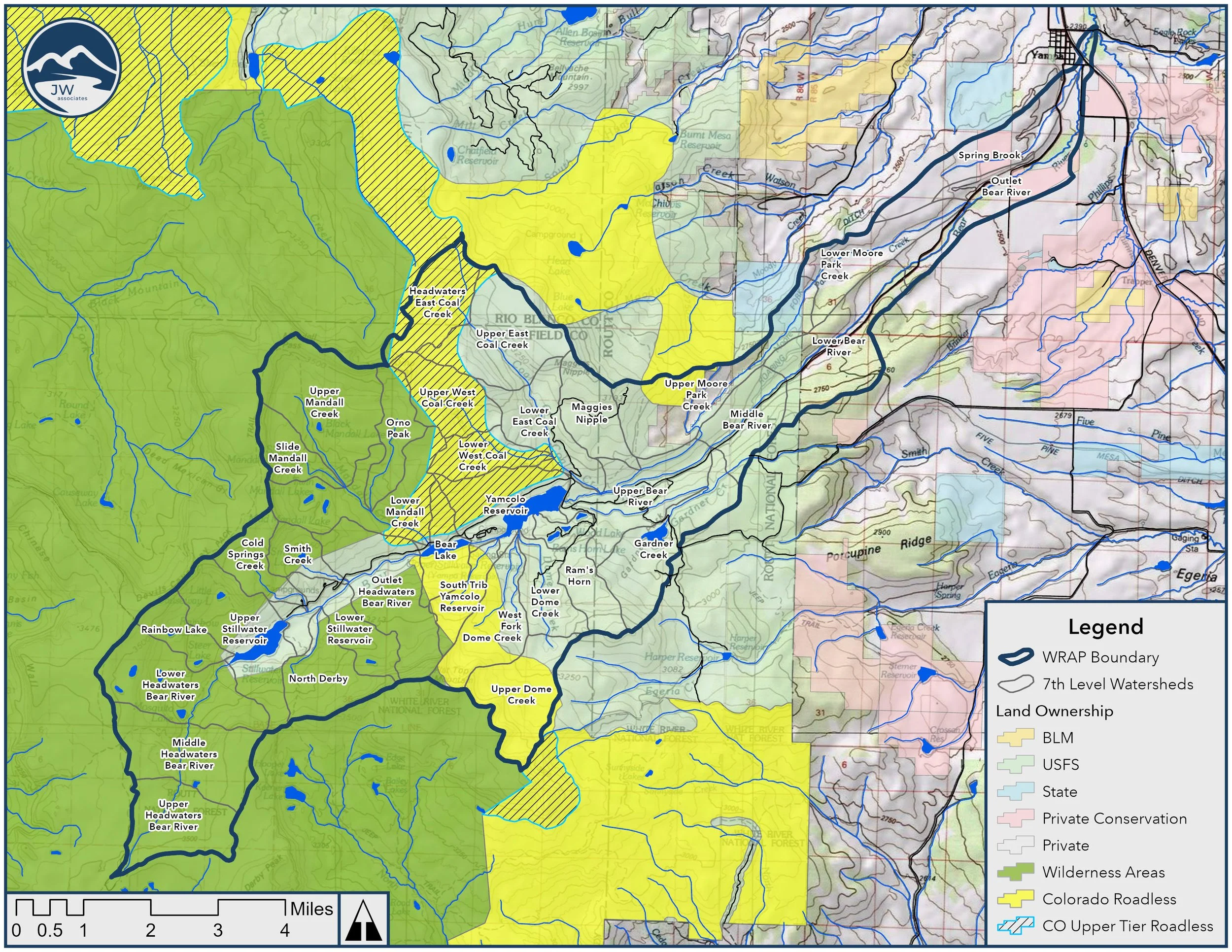
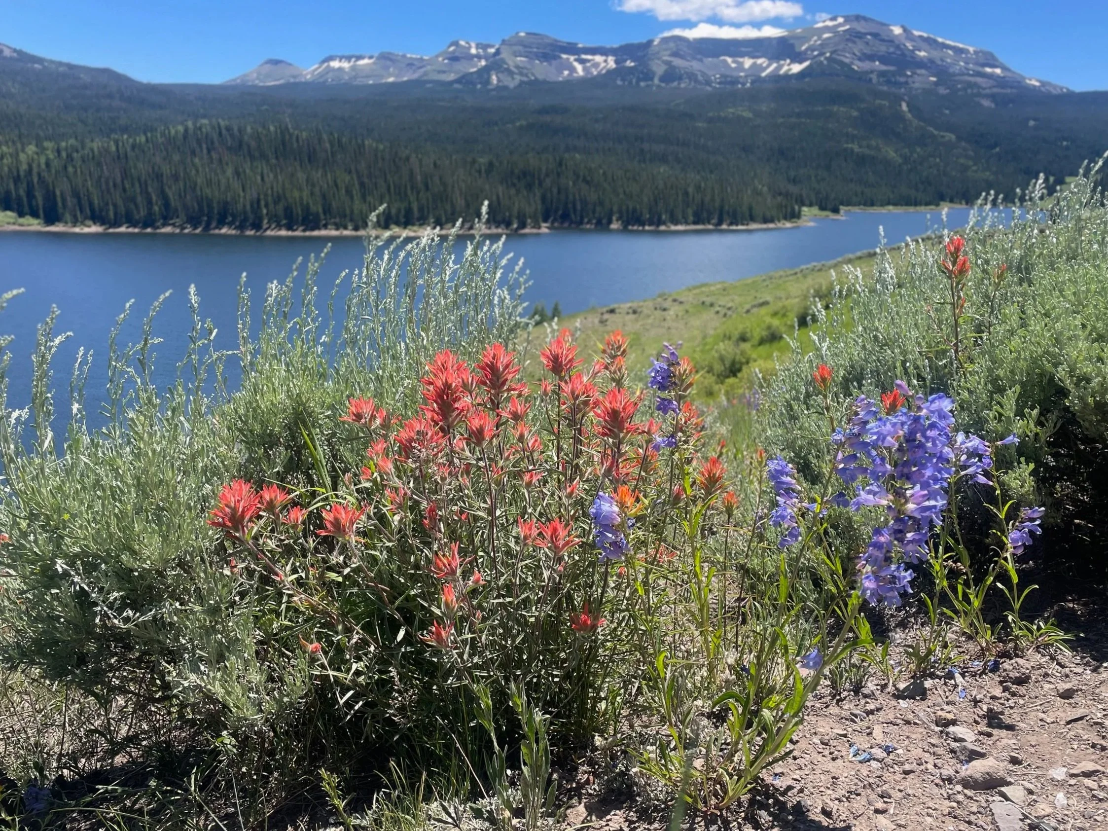
The Bear River WRAP watershed area is in both Routt and Garfield Counties. The Bear River has a 52 square mile basin and flows generally from southwest to northeast towards its confluence with Phillips Creek, where the two join to form the Yampa River. The Bear River Watershed includes two HUC-12 or 6th level watersheds. The Headwaters Bear River HUC-12 is entirely NFS lands. The Yamcolo Reservoir-Bear River HUC-12 is a combination of NFS lands, the Town of Yampa and private agricultural properties that rely on extensive surface irrigation infrastructure. Many of the private land irrigation systems originate in higher elevation, NFS lands.
The analyses in the Wildfire Ready Action Plan focus on the impacts stemming from wildfire risk and potential post-fire hazards, and examines the long-term risk that is posed by changes in climate for the entire project area.
The Bear River WRAP includes the following analyses & deliverables:
Watershed Wildfire Hazard Assessment
Stream Conditions Assessment
Pre- and Post-fire Hydrologic Modeling
Pre- and Post-fire Hydraulic Modeling
Fluvial Hazard Zone Delineation & Analysis
Post-fire Debris Flow Analysis
Post-fire Susceptibility Analysis
To request project information or documents, please email Brad Piehl.