Crested Butte Wildfire Ready Action Plan
Project Timeline:
2025 - Present
Total Project Area: 60,465 acres
Main Partners:
Town of Crested Butte (primary client)
US Forest Service
Colorado State Forest Service
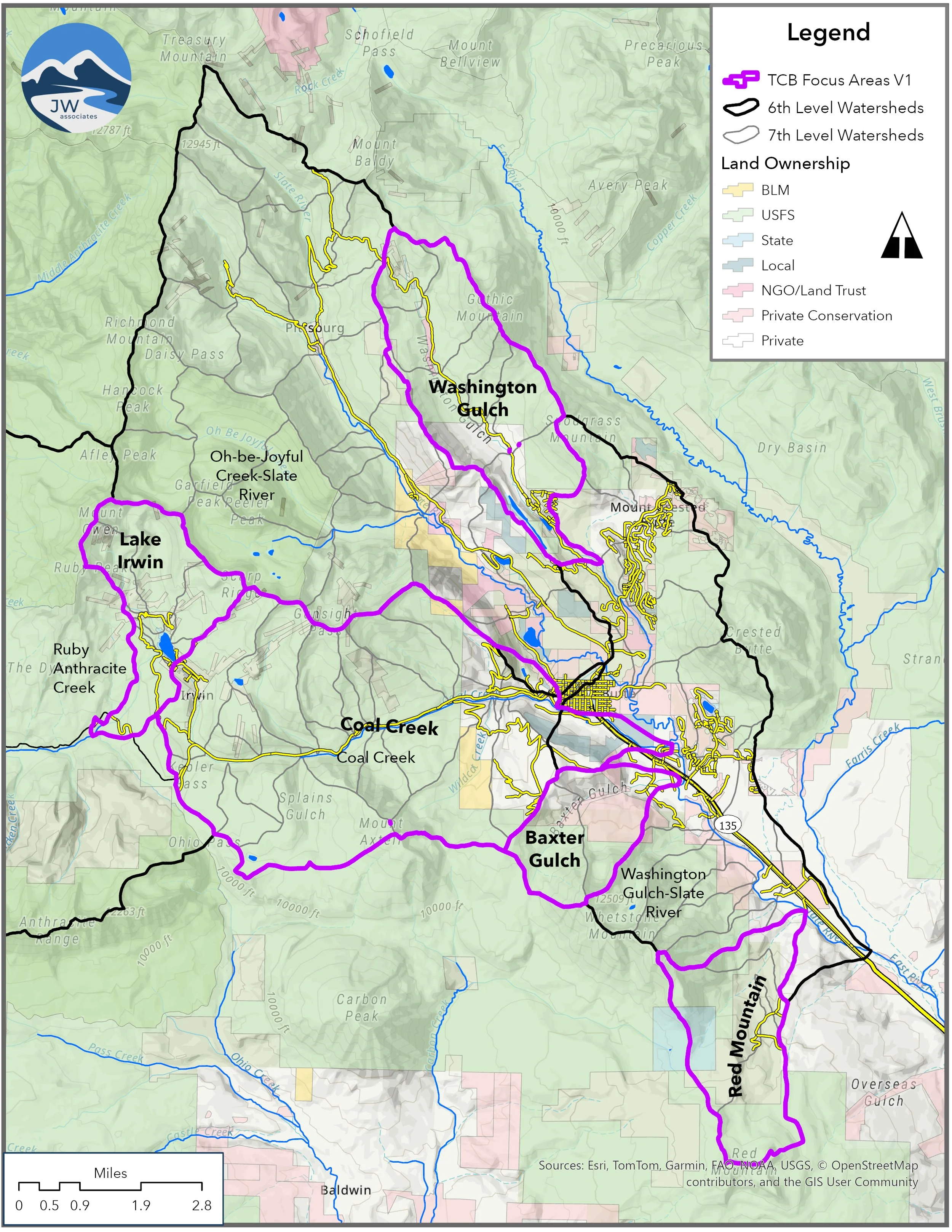
Crested Butte WRAP Project Area
The Town of Crested Butte is facilitating a Wildfire Ready Action Plan (WRAP) for the Crested Butte area and contributing upstream watersheds. This project prioritizes the following areas, to better understand the current watershed health and potential post-wildfire impacts on water availability and quality as well as community safety:
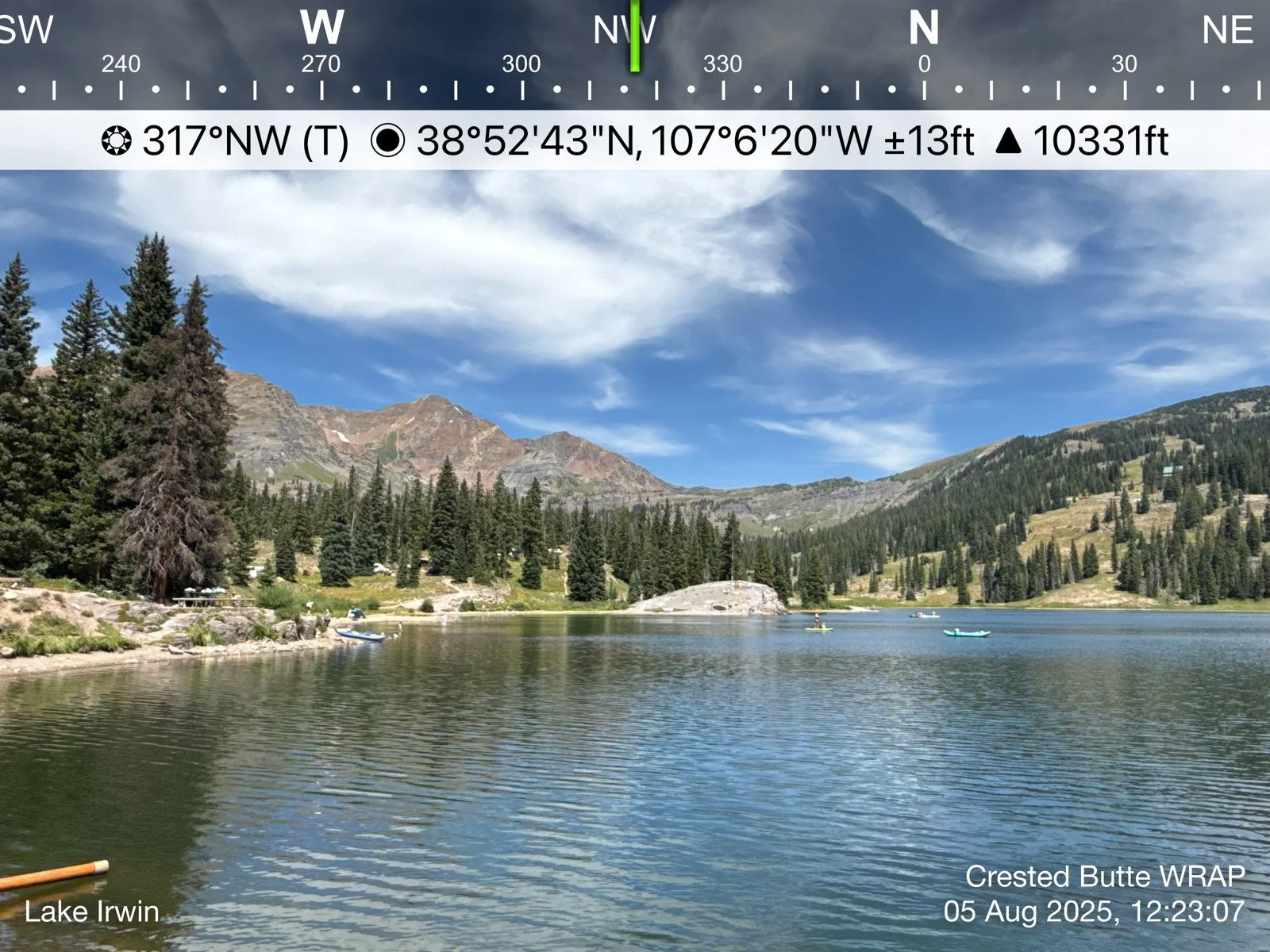
Lake Irwin
Washington Gulch
Coal Creek
Baxter Gulch
Red Mountain
The analyses in the WRAP focus on the impacts stemming from wildfire risk and potential post-fire hazards, and examines the long-term risk that is posed by changes in climate.
The Crested Butte WRAP includes the following analyses & deliverables:
Stream Conditions Assessment
Wildfire Modeling & Analysis
Watershed Wildfire Hazard Assessment
Pre- and Post-fire Hydrologic Modeling
Fluvial Hazard Zone Delineation
Post-fire Gulley & Hillslope Erosion Analysis
Post-fire Debris Flow Modeling & Analysis
Post-fire Susceptibility Analysis
To request project information or documents, please email Brad Piehl.