Steamboat Front Wildfire Ready Action Plan
Project Timeline:
2025 - Present
Total Project Area: 213,000 acres
Main Partners:
Colorado Cattleman’s Agricultural Land Trust
(CCALT) (primary client)
US Forest Service
Colorado State Forest Service
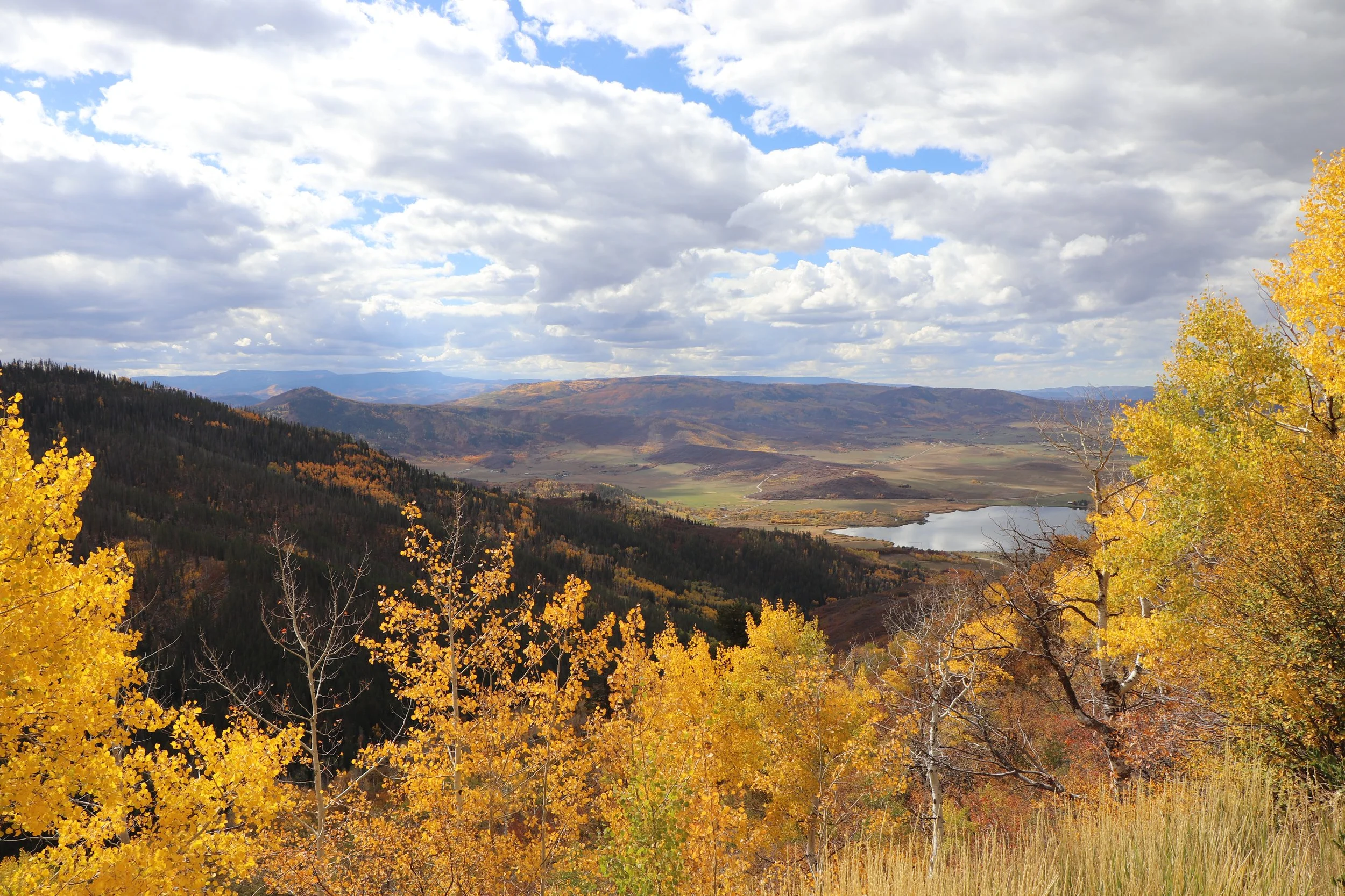
WRAP Project Area

CCALT is working directly with four partner communities in the proposed project area of the Steamboat Front: Alpine Mountain Ranch, Catamount Ranch, Sidney Peak Ranch, and Storm Mountain Ranch. The focus areas for this WRAP that were chosen by the stakeholders include Lower Walton Creek, Upper Walton Creek, Yampa Valley, Highway 40 Corridor, Lake Catamount Inlets, and Upper Trout/Oak Creeks.
The analyses in the Wildfire Ready Action Plan focus on the impacts stemming from wildfire risk and potential post-fire hazards, and examines the long-term risk that is posed by changes in climate for the entire project area.
The Wildfire Ready Action Plan includes the following analyses & deliverables:
Stream Conditions Assessment
Wildfire Modeling & Analysis
Watershed Wildfire Hazard Assessment
Pre- and Post-fire Hydrologic Modeling for Twin Lakes
Fluvial Hazard Zone Delineation & Analysis
Post-fire Debris Flow Analysis for the entire project area
Post-fire Susceptibility Analysis
To request project information or documents, please email Brad Piehl.