Crested Butte Wildfire Ready Action Plan
Project Timeline:
2025 - 2026
Total Project Area: 60,465 acres
Main Partners:
Town of Crested Butte (primary client)
US Forest Service
Colorado State Forest Service
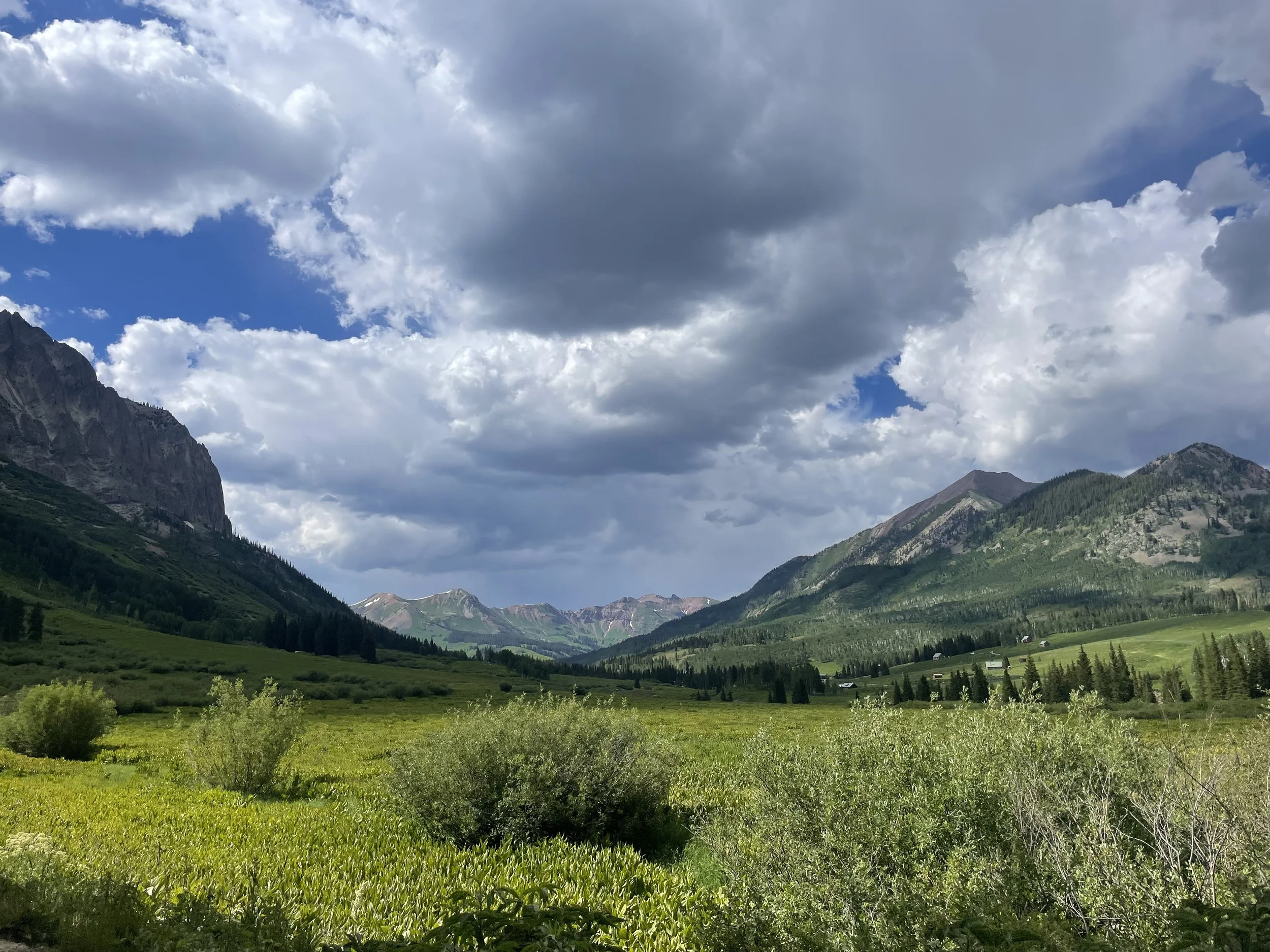
Crested Butte WRAP Project Area
The Town of Crested Butte is facilitating a Wildfire Ready Action Plan (WRAP) for the Crested Butte area and contributing upstream watersheds. This project prioritizes the following areas, to better understand the current watershed health and potential post-wildfire impacts on water availability and quality as well as community safety:
Lake Irwin
Washington Gulch
Coal Creek
Baxter Gulch
Red Mountain
The analyses in the WRAP focus on the impacts stemming from wildfire risk and potential post-fire hazards, and examines the long-term risk that is posed by changes in climate.
The Crested Butte WRAP includes the following analyses & deliverables:
-
The final Wildfire Ready Action Plan document presents the entirety of the analyses and technical information from the project, as well as pre- and post-fire project recommendations.
Access the WRAP document HERE (coming soon).
-
SGM completed a Stream Conditions Assessment to identify locations for stream and riparian corridor conservation and restoration projects within the Crested Butte WRAP project area. This assessment helps identify specific locations for pre- and post-fire projects to help mitigate fluvial hazards to the Town of Crested Butte’s infrastructure.
Access the complete document HERE.
-
Wildfire modeling & analysis was completed for all 7th level watersheds within the Crested Butte WRAP project area.
This information is presented in the final Watershed Hazard Assessment, which can be found HERE. -
The analysis in the Watershed Wildfire Hazard Assessment focuses on the impacts stemming from wildfire risk and potential post-fire hazards, and examines the long-term risk that is posed by climatic changes to the Crested Butte area.
This assessment analyzes and ranks hazards by 7th level watershed, providing a prioritization framework for identifying specific areas for targeted management actions based on their hazard ranks.Access the complete assessment HERE.
-
SGM developed a hazard analysis for the hydrologic and hydraulic impacts that an upstream wildfire would have on the Crested Butte WRAP project area. This analysis was completed only for the Coal Creek watershed and it’s subbasins, to help identify pre- and post-fire impacts to hydrology and hydraulics of the stream channels.
The complete memorandum can be found HERE. -
Gulley formation is common in a post-fire scenario, due to changes in the soil and vegetation after a fire. In steeper terrain, gulley formation often leads to increased hillslope erosion. In a post-fire scenario, it is important to understand what terrain is susceptible to gulley formation in order to identify locations for and prioritization of post-fire hillslope erosion treatments.
This analysis identifies the hazard of potential gulley locations across the entire Crested Butte WRAP area.
Access the complete memorandum HERE. -
Post-fire debris flow hazards were estimate for all 7th level watersheds in the Crested Butte WRAP area. This information provides guidance for planning and mitigation of debris flow hazards in a post-fire scenario.
Access the memorandum HERE. -
The susceptibility analysis is an intersection of various Values at Risk (VARS) and post-fire hazards in the Crested Butte WRAP area. This analysis helps identify the most at-risk locations in the project area and aids in prioritization of post-fire projects in the event of a wildfire.
Access the analysis HERE.
To request project information or documents, please email Brad Piehl.