Steamboat Front Wildfire Ready Action Plan
Project Timeline:
2025 - Present
Total Project Area: 213,000 acres
Main Partners:
Colorado Cattleman’s Agricultural Land Trust
(CCALT)
Upper Yampa Water Conservancy District
US Forest Service
Colorado State Forest Service
Routt County Wildfire Council
Routt County Emergency Management
Routt County Road and Bridge
Steamboat Ski Resort
Town of Steamboat Springs
Colorado Department of Transportation
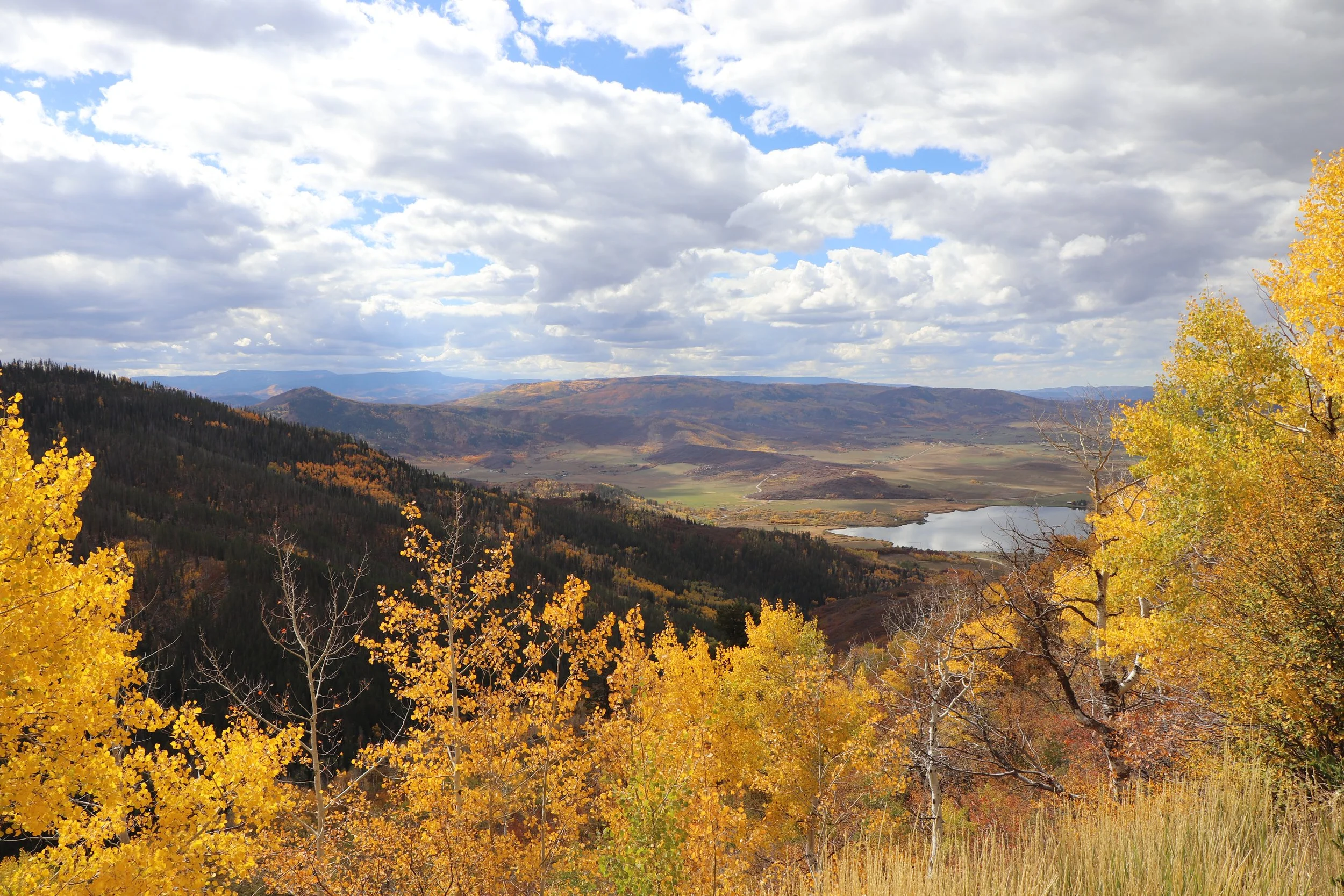
WRAP Project Area
The Wildfire Ready Action Plan is focused on the impacts from post-wildfire hazards and the susceptibility of infrastructure and other values-at-risk to these hazards. It also examines the long-term risk that is posed by ecosystem changes over time, as they relate to wildfire and post-fire hazards. The Steamboat Front project area extends from the watersheds of the Steamboat Front on the east side across the Yampa River Valley, to Upper Trout and Oak Creeks on the west side. This WRAP identifies projects to be done before a fire that will help to reduce the negative impacts from wildfire throughout the Steamboat Front; in addition, projects are identified to be completed as quickly as possible following a wildfire in order to protect values-at-risk.
CCALT is working directly with four partner communities in the project area of the Steamboat Front: Alpine Mountain Ranch, Storm Mountain Ranch, Catamount Ranch, and Sidney Peak Ranch. The project focus areas were chosen by the stakeholders and include Lower Walton Creek, Upper Walton Creek, Yampa Valley, Highway 40 Corridor, Lake Catamount Inlets, and Upper Trout/Oak Creeks.
The Wildfire Ready Action Plan includes the following analyses & deliverables:
-
The final Wildfire Ready Action Plan document presents the full analysis and technical information from the project, as well as pre- and post-fire project recommendations.
Access the WRAP document HERE.
-
The stream conditions assessment documents the existing physical and biological stream conditions completed through desktop analysis for the entire study area. This document supports the identification of priority stream reaches for which more detailed hydrologic, hydraulic, and/or fluvial hazard analysis were conducted. This assessment also led to the identification of potential sites for pre-fire projects and post-fire actions.
Access the complete document HERE.
-
The Watershed Wildfire Hazard Assessment focuses on the impacts stemming from wildfire risk and potential post-fire hazards, and examines the long-term risk that is posed by ecosystem changes over time.
This assessment analyzes and ranks hazards by 7th level watershed, providing a prioritization framework for identifying specific areas for targeted management actions.Access the complete assessment HERE.
-
Stillwater Sciences completed the Hydrologic and Hydraulic modeling for the Steamboat Front WRAP. This document presents the results and detailed methodology of the pre- and post-fire hydrologic and hydraulic modeling for select regions of the project area.
Access the memorandum HERE. -
Stillwater Sciences completed the Fluvial Hazard Zone (FHZ) delineation and analysis for three stream reaches within the Steamboat Front WRAP project area.
This document includes the FHZ mapping and assessments for Bear Creek (Unnamed Tributary), Priest Creek, and Walton Creek.
Access the memorandum HERE. -
Post-fire debris flow hazards were estimated for all 7th level watersheds in the Steamboat Front WRAP project area. This information provides guidance for planning and mitigation of debris flow hazards in a post-fire scenario.
Access the memorandum HERE. -
The susceptibility analysis is an intersection of various Values at Risk (VARs) and post-fire hazards in the Steamboat Front WRAP project area. This analysis helps identify the locations most at-risk for post-fire impacts to critical infrastructure within the project area which aids in prioritization of recommended actions.
Access the analysis HERE.
-
As part of the WRAP process, pre- and post-fire project recommendations are created based on the hazard assessments and technical analyses within the focus areas of the WRAP project. This is a living document, and may continue to change over time as projects and funding shifts.
Access the project list HERE. -
The complete GiS map package for the Steamboat Front WRAP can be found HERE.
To request project information or documents, please email Brad Piehl.