Twin Lakes Wildfire Ready Action Plan
Project Timeline:
2025 - 2026
Total Project Area: 102,600 acres
Main Partners:
Arkansas River Watershed Collaborative (primary client)
Colorado Springs Utilities
Aurora Water
US Forest Service
Colorado State Forest Service
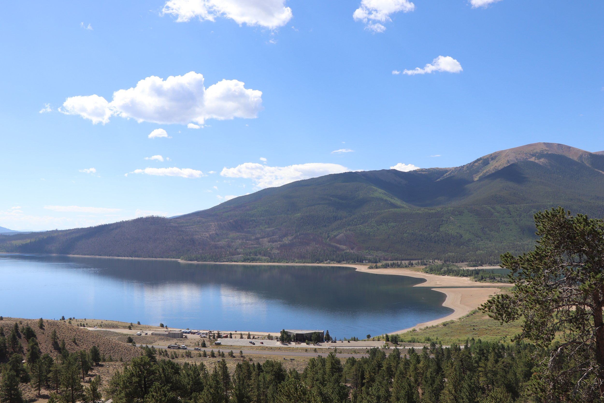
Twin Lakes WRAP Project Area
Arkansas River Watershed Collaborative is facilitating a Wildfire Ready Action Plan (WRAP) for the Twin Lakes Reservoir area and contributing upstream watersheds. The Interlaken Fire burned 700 acres in 2024 on the south side of the Reservoir, which directly impacted water quality of the Twin Lakes Reservoir. This reservoirs is a critical water supply for the cities of Colorado Springs, Aurora and various other counties.
The analyses in the Wildfire Ready Action Plan focus on the impacts stemming from wildfire risk and potential post-fire hazards, and examines the long-term risk that is posed by changes in climate.
The main focus areas for this project, where recommendations for future work are given, include the areas outlined in the map, including:
North Side Twin Lakes
South Side Twin Lakes
Lake Creek Mainstem
South Fork Lake Creek
Lincoln/Grizzly Creek
The Wildfire Ready Action Plan includes the following analyses & deliverables:
-
The final Wildfire Ready Action Plan document presents the entirety of the analyses and technical information from the project, as well as pre- and post-fire project recommendations.
Access the WRAP document HERE (coming soon).
-
Wildfire modeling & analysis was completed for all 7th level watersheds within the Twin Lakes WRAP project area.
This information is presented in the final Watershed Hazard Assessment, which can be found HERE.
-
The Watershed Wildfire Hazard Assessment focuses on the impacts stemming from wildfire risk and potential post-fire hazards, and examines the long-term risk that is posed by ecosystem changes over time.
This assessment analyzes and ranks hazards by 7th level watershed, providing a prioritization framework for identifying specific areas for targeted management actions.Access the complete assessment HERE.
-
Stillwater Sciences completed the Hydrologic and Hydraulic modeling for the Twin Lakes WRAP. This document presents the results and detailed methodology of the pre- and post-fire hydrologic and hydraulic modeling for select regions of the project area.
Access the memorandum HERE. -
Stillwater Sciences completed the Fluvial Hazard Zone (FHZ) delineation and analysis for three stream reaches within the Twin Lakes WRAP project area.
This document includes the FHZ mapping and assessments for the mainstem of Lake Creek.
Access the memorandum HERE.
-
Post-fire debris flow hazards were estimated for all 7th level watersheds in the Twin Lakes WRAP project area. This information provides guidance for planning and mitigation of debris flow hazards in a post-fire scenario.
Access the memorandum HERE. -
The susceptibility analysis is an intersection of various Values at Risk (VARs) and post-fire hazards in the Twin Lakes WRAP project area. This analysis helps identify the locations most at-risk for post-fire impacts to critical infrastructure within the project area which aids in prioritization of recommended actions.
Access the analysis HERE.
To request project information or documents, please email Brad Piehl.